tour

Jun 102010
 
Thames Boat Tour

Bow view of Tower Bridge

Thursday kicked off with a boat tour of the Thames from London to the Thames Barrier with a stop in Greenwich. Though it feels now as if the river banks are primarily high end housing and shopping, the water’s edge in London began as a shipping port for Ancient Rome and kept its Maritime focus of shipping, wharfs and ship building until the last few decades. In fact, the word “wharf” began as WareHouse Along River Front.

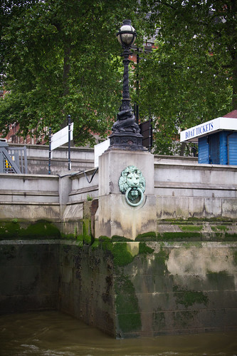
London has always been susceptible to flooding by the tides in the English Channel which affect the level of the Thames by up to seven meters. The decorative lion heads along the river walls were places for ships to tie up, but also acted as a water level warning to the citizens, “When the lions drink, London’s in danger.”

River's Edge

Lion's head along the river's edge.

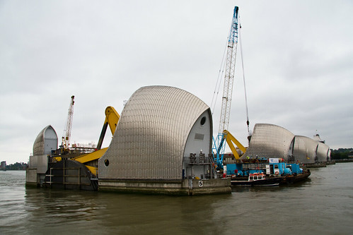
To protect the city now, they have built the Thames Barrier – an enormous moveable dam downriver that can be closed during unusually high tides to keep the city from flooding. Since its construction in the 1980s, it has been used over 180 times to protect the city, with annual usage increasing. The Barrier was the farthest point on our boat tour and an impressive sight to see.

Thames Barrier

Thames Barrier

Thames Barrier Piers in Maintenance

Thames Barrier piers. The barges are doing maintenance on one of the adjustable dams.

Greenwich was our only stop along the tour. We spent a couple hours at the original Royal Observatory: the defining point of the Prime Meridian (0 degrees longitude) and the longtime home of World Time, the standard time to which the rest of the world synchronizes.

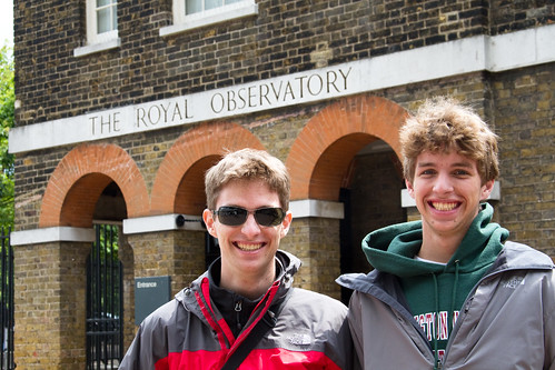
In Front of the Royal Observatory

In front of the Royal Observatory. I'm not sure what Kevin's thinking here.

The museum and tour explain the King’s original goal of setting up the observatory to collect astronomical data to aid navigation. It explains sextant navigation and the importance of accurate star data to calculate your longitude, and the necessity of an accurate sea-going clock to synchronize your observations with star data created elsewhere on earth. That ‘elsewhere’ was Greenwich, and thus it became defined as the Prime Meridian. The development of an accurate sea-going clock was so important that the government set up a 20,000 Pound prize for anyone who could build one. John Harrison claimed the prize in the 1760s after 40 years of clock development – the museum has versions I through IV (the winning clock) on display, along with many other attempts. We spent quite a while studying the various mechanisms to understand the maker’s design for overcoming the rolling of the ship that would keep a common pendulum from working properly. The museum also houses many of the clocks that for hundreds of years kept the official World Time, until the now-official atomic clock was developed.

Given that Greenwich is a rather geeky stop, and one that I assumed would only be of interest to someone at least familiar with Greenwich Mean Time, I was rather surprised to hear one of our boating companions exclaim as he exited the boat back in London, “I wonder why it feels warmer in London than it did in Green Which?”

Speaking of green witches, after some R&R time we cleaned up and headed to London’s Theater District for dinner and a play. We had a nice Italian meal before going to the Apollo Victoria Theater to see “Wicked.” Sarah had seen the play in SF, and thought the London version was not as funny but musically better.

Jun 112010
 

We said goodbye to London today and, being fearful of driving on the left side of the road in London, took a taxi to Heathrow airport to pick up a rental car.

From there it was a short 10 mile drive to our first stop: Windsor Castle. Or it should have been a short 10 mile drive; our GPS was configured to show north-always-up rather than what I’m used to, which is forward-always-up. By the time that confusion was cleared up I had driven another 10 miles out of our way, and in an effort to not insult those in cars near us, spoke ever so eloquently in what I’m told is French.

On to Windsor! The Queen was not in residence this weekend – I suppose she was wagering on the ponies at Ascot – so we took the audio tour instead.

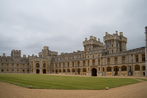
Windsor Castle Quadrangle

The Windsor Castle Quadrangle


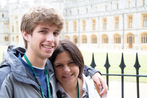
Kevin and Sarah

Kevin and Sarah in front of the quadrangle.


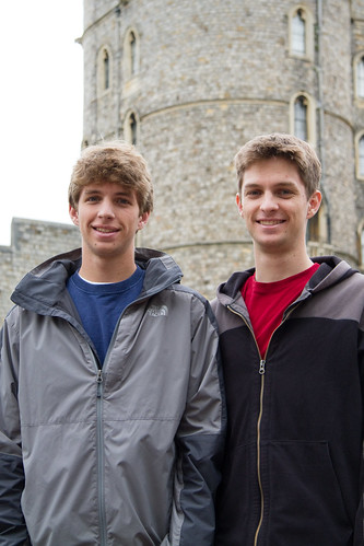
Kevin at Eric at Windsor Castle

Kevin at Eric at Windsor Castle


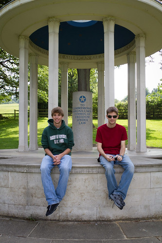
The next stop was in Runnymede, where the original Magna Carta was signed by King John of England in 1215. The document is considered the founding document of constitutional law, and the American Bar Association has erected a monument on the site to commemorate it.
Runnymede

Kevin and Eric at the ABA's commemorative monument at Runnymede


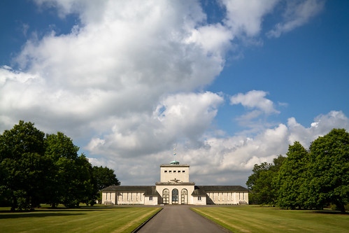
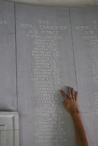
On top of the hill overlooking Runnymede is the Royal Air Forces Memorial, where 20,000 members of the Commonwealth Air Forces are remembered. These are airmen who lost their lives over the British Isles and Europe in WWII and have no known graves. We stopped there to see the listing of Sarah’s first cousin once removed, Laurence E. Charnaud, who was shot down over the North Sea.
Air Forces Memorial, Runnymede

Air Forces Memorial, Runnymede


Flying Officer L.E. Charnaud

Flying Officer L.E. Charnaud


An hour and a half later we arrived at our hotel in Salisbury. Tomorrow we’ll tour locally.
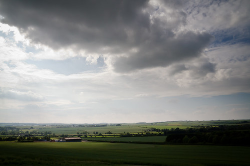
Salisbury Hill

The view from atop a hill in Salisbury, though likely not the one Phil Collins sang about.

Jun 122010
 

I really don’t get English breakfasts. In London we were pretty smart after the first day and either ate in our apartment or had pastries and coffee across the street. Today we had the hotel breakfast in the dining room – oops. Things look familiar, but taste very strange. Perhaps we’ll learn this time.

We chose to stay in Salisbury since it was close to Stonehenge and has a beautiful cathedral with an original copy of the Magna Carta. Today’s first stop: Stonehenge.

Stonehenge stands amid green rolling hills with roads on two sides, and they’ve done a very nice job of hiding signs of civilization. The visitor center is across the road and down the hill, accessed by an underground tunnel so it isn’t visible from the site. There is a paved pathway around the stones, and a small rope to tell you not to enter closer. It would be nice to walk amongst the stones, but given the amount of traffic it sees I can understand the reason they limit it.

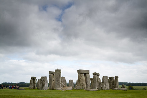
Stonehenge - flat lighting

We had mostly flat lighting all day, but you can get a sense of scale from the people along the left.

We took the audio tour which talks about the site, the stones, the myths and theories about their purpose. Like other museums, the audio tour comes on a small device you hold up to your ear after typing in the number of the stop you’re at – it makes it look like everyone there is talking on their cell phones.
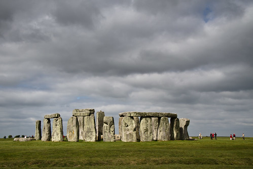
Stonehenge

A moment of nice light.


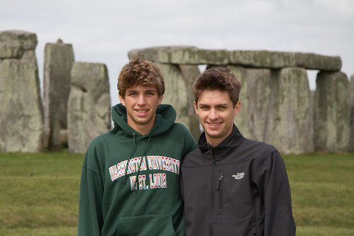
Kevin and Eric at Stonehenge

Kevin and Eric

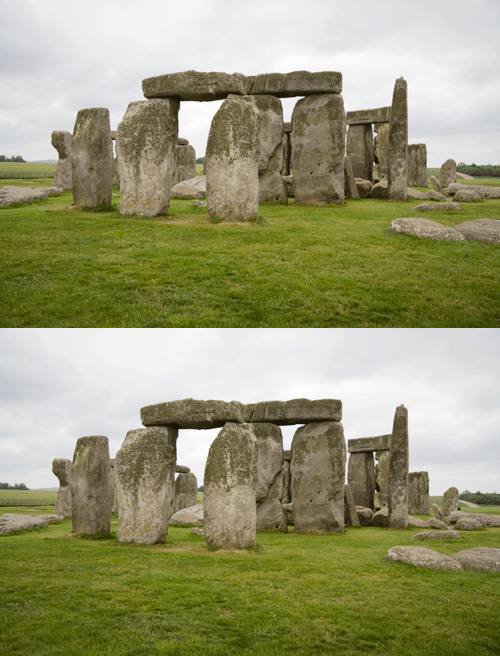
Given the flat lighting conditions we had I’m pretty happy with how the pictures came out. I experimented with some stereo pairs, one of which is below:
Stonehenge Wigglegram

Stonehenge 'wigglegram' - ooh ooh, 3D! The distance between the images makes it appear smaller that it really is.

Next stop: the English Channel…

Jun 142010
 

Our last full day in England, but it’s a very unique one. We scheduled a “Hadrian’s Wall Safari”. Hadrian’s Wall was built starting in 122 AD under Roman Emperor Hadrian. It stretched for 80 miles from the east to the west coasts of Britain, and was the northernmost border of the Roman Empire – to the north: barbarians. Our tour guide, Gary, picked us up in his Range Rover (thus the ‘safari’) around 10am.

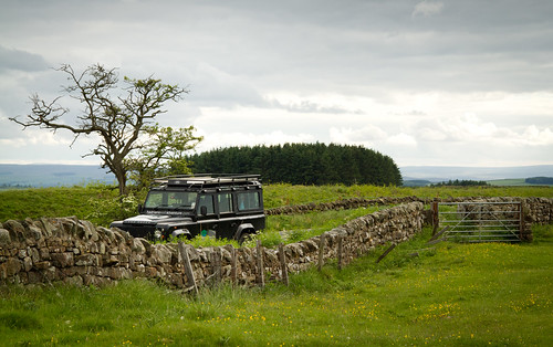
Tour Bus

Gary's Range Rover, our tour bus for the day

There were many stops along the way, most of which started with a short hike and then a description from Gary about what we were looking at. He did a fantastic job layering the information over the course of the day so that we were building knowledge and understanding about the Roman Empire and early British history, rather than just reading about a particular site.

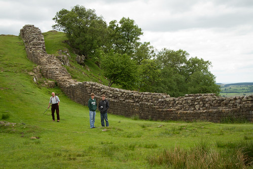
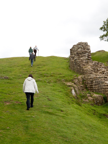
Hadrian's Wall

A relatively intact portion of the wall. Gary's ready to charge up the hill.

At this stop, for example, he explained why the wall was here and not further north or south. But to do so, we had to be at the top of the hill…

Charging the hill

Charging up the hill

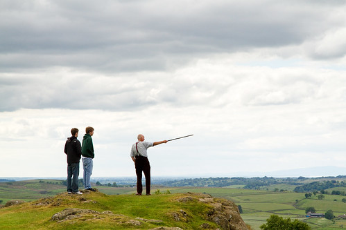
History Lesson

Gary gives a combination history and geology lesson

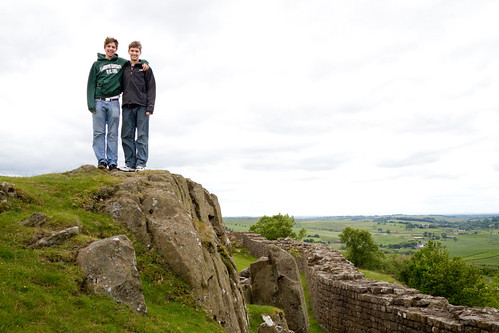
It turns out there is a giant fault line here, and the minerals and other assets that an empire might want are primarily to the south. To the north the land is less valuable and not worth the cost of beating down the barbarians.

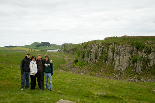
Fault lines and walls also make for great photo ops.

Photo op

Photo Op Atop the Crop

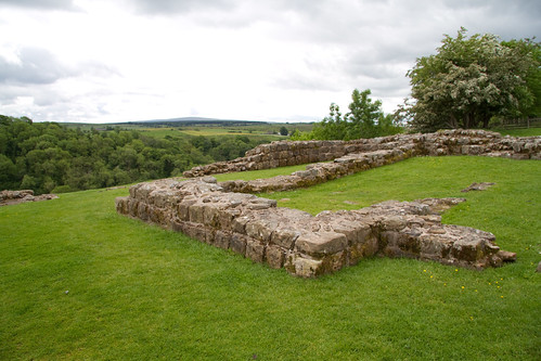
Every Roman mile (1,000 paces) along the 80 mile wall was a Mile Castle that acted as a toll gate between the Roman Empire and traders to the north. Between each Mile Castle were two towers, stationing guards every 330 paces for the width of Britain. Below is the foundation of a Mile Castle.

Mile castle

Remains of a Mile Castle

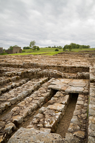
A century before Hadrian built his wall, the Romans had established forts throughout the region. Vindolanda was started around 85AD and was occupied for about 400 years. Over that time it was rebuilt on top of itself many times. There is an extensive excavation going on there now with a fantastic museum. Most significantly, they uncovered wood writing tablets that are still legible, having been protected for almost 2000 years by mud.

Vindolanda

Vindolanda excavation - the elevated floor was heated by hot water running through the channels

Crag Lough was another stop along the way. It’s close to Once Brewed, next to Twice Brewed. Twice Brewed was named for the strong ale that the Roman soldiers demanded. Once Brewed was named more recently by the founder of a youth hostel that thought that tea as a better drink to offer.

Crag Lough

Crag Lough (that's the lake in the background); Hadrian's Wall runs along the top of the ridge

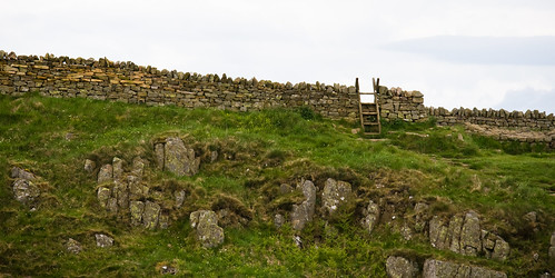
There is a hiking trail that follows the wall across the country. Most of the wall is not visible now, either because it’s still buried or because the stones were recycled over the years to become smaller walls or farmhouses.

Ladder over Hadrian's Wall

A ladder for hikers to climb over the wall

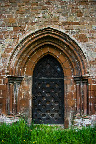
Lanercost Priory was built by Henry II in the late 1100’s, mostly from stone from Hadrian’s Wall.

Lanercost Priory Door

Lanercost Priory Door

A long, educational and entertaining day!

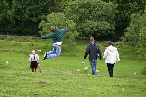
Jump

Jump

Nov 192011
 
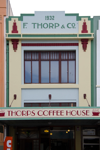
Napier Art Deco

Napier Art Deco

Napier was almost leveled by an earthquake in 1931. What remained standing was soon destroyed by subsequent fires. The quake came in two parts, the first lasting a minute at 7+ magnitude followed by a minute of rest, then a second jolt simliar in size and duration to the first. In the process, the Pacific Plate rammed itself under the Australian Plate, raising the town of Napier two meters and adding 8,000 hectacres of new land to the area. The townspeople rallied and in 22 months had rebuilt the entire city. They chose to build in an Art Deco style to represent their modern and future-looking attitude. Plus, it was fast, cheap, and earthquake safe to pour concrete walls.

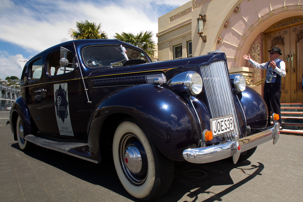
We booked a car tour of Napier through the Art Deco Trust, and were picked up at our hotel in a 1939 Packard by our guide Tony, who was dressed in fine ’30s style.

Napier Tour Bus

The 1939 Packard that we toured Napier, NZ, in. Our tour guide, Tony, is in the background dressed in his '30s finest. Behind Tony is the National Tobacco Company building, an exquisite Art Deco building with new Art Nouveau flairs.

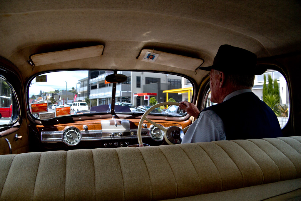
Tony in the Packard

Looking over Tony's shoulder. You need a megaphone to backseat drive in this car.

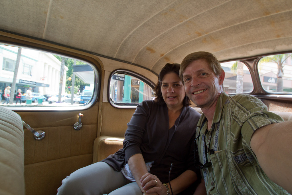
Inside the Packard

Sarah and me in the roomy backseat.

After the two hour tour we had him drop us off downtown so we could grab a late lunch (almost impossible at 3pm). Everyone had told us that the walk back would be about fifteen minutes, but we’re pretty sure now that their accents were throwing us off, as the walk actually took fifty minutes.

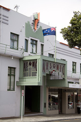
Napier Art Deco

Another example of Napier Art Deco style.

We crashed in our hotel room for awhile and listened to the guys upstairs singing along horribly with the ’70s rock they were blasting. We hoped that after dinner things would quiet down. We had a nice meal across the way at East Pier, followed by coffee and dessert downstairs. All was quiet when we returned to the room.

Or so we thought…