hike

Dec 292008
 

Poas Volcano is in a cloud forest, so the last half hour or so of the drive is through dense mist.

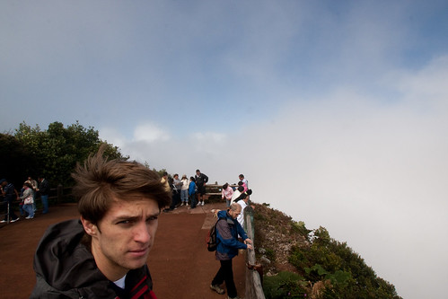
Once at the volcano we were given the choice of a half mile walk up a fairly flat road from the Visitors’ Center to the crater, or a more interesting hike through the cloud forest to get there. Eric, Kevin and I opted for the hike, and Sarah’s wisdom lead her up the gentler path.

The three guys, having chosen the path less traveled, ended up on a pretty rigorous two mile hike at 8800 feet of altitude, with no acclimating beforehand. Not knowing that half the hike was a pretty steep and steady climb, I blasted out of the gate – regretting that strategy about half a mile later. We got a nice view of a smaller crater up higher, but the main crater was buried in a cloud when we finally arrived there.

In the meantime, Sarah had had a jolly walk to the main crater, seen it in its splendor before the clouds covered it, gave up waiting for us and strolled back to the bus.

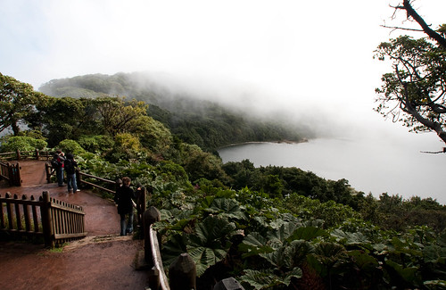
Botos Lagoon

Botos Lagoon. This is the small crater up higher than the main one. The view lasted about 2 minutes though a hole in the clouds.

Poas Volcano Crater

Here’s what the main crater looked like: a cloud.

Pictures from our hike through the cloud forest:

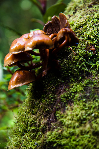
Cloud Forest Fungus

Fungus

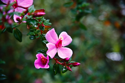
Cloud Forest Flower

Flowers. Sorry, I don’t know what type they are.

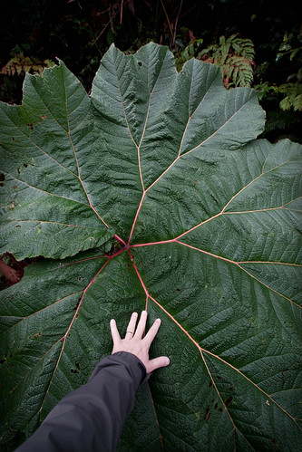
Sombrilla de Pobre

Sombrilla de Pobre, or “poor man’s umbrella,” is the common name for this Costa Rican plant – for obvious reasons.

Dec 302008
 

Today was four hours of riding in the bus, broken up with a number in interesting stops. We left San Jose at 7:00am, traveling east through the Braulio Carrillo National Park, over the Continental Divide to the Caribbean Sea.

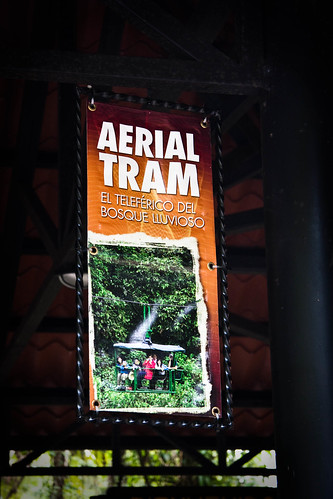
Our first stop was in the Braulio Carrillo National Forest for an aerial tram tour of the rain forest.

Aerial Tram

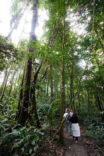
Before the tram ride, we had a guided nature walk through the bottom of the forest. At the head of the trail there was a three toed sloth and her baby which we observed for a bit before heading into the forest.

Rain Forest Nature Hike

On the nature trail

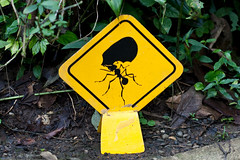
Leaf Cutter Ant Crossing

Leaf Cutter Ant Crossing.

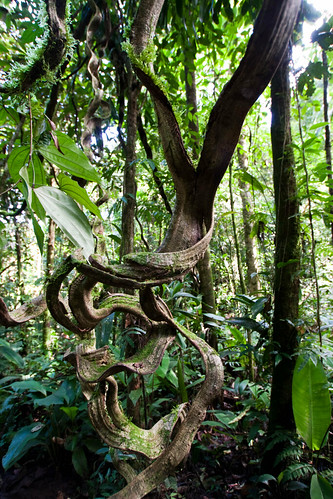
We learned quite a bit about the biodiversity of the region, including the difference between a vine and an air root. Vines grow up from the ground, air roots come down from the plants in the trees. Tarzan swung on air roots, not vines.

Monkey Vines

“Monkey Vine”

Coolest insect: a bullet ant. My photo didn’t come out very well, but they’re about an inch and a half long and have an almost paralyzing bite. I didn’t get close enough for the shot. Duh.

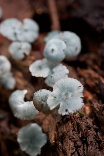
Fungus

These fungi are about 3/4″ across. Check out the tiny red flies on them.

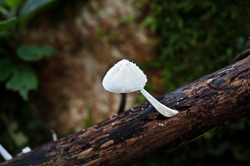
Fungus, Again

Don’t eat it.

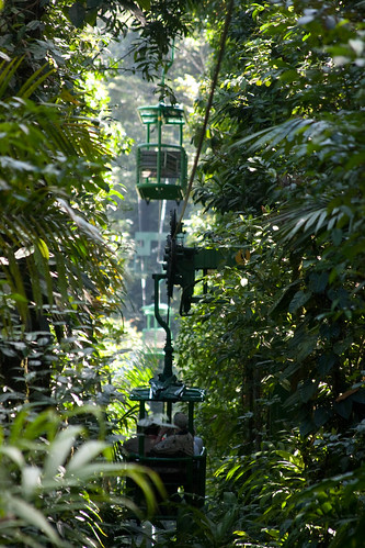
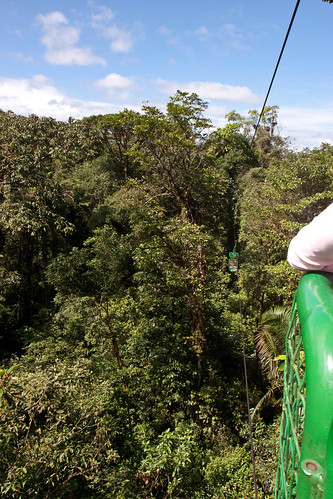
The cable-suspended tram travels a one and a half hour round trip through all three levels of the canopy. You travel close to the ground, then through the middle canopy, and then for most of the return trip you travel at or above the top of the canopy. It was incredible seeing the complexity of the environment, and trying to grasp the interwoven relationships of all the creatures and flora that inhabited it.

Aerial Tram Views

Heading out into the rain forest at the lower level.

Aerial Tram Views

The trip back over the canopy.

Jan 032009
 

Another 45 minutes of travel and we stopped at the Los Angeles Cloud Forest Reserve where we had a 45 walk with a naturalist through the cloud forest. More leaf cutter ants(!) and some beautiful birds were the most visible wildlife, plus we learned more about the flora of a cloud forest.

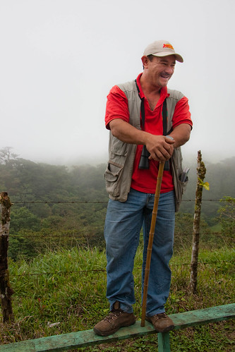
Oliver - Our Nature Guide

Oliver, our naturalist guide.

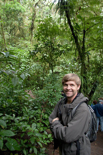
Cloud Forest, and Me

Cloud forest, and me.

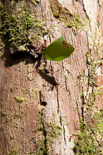
More Leaf Cutter Ants!

More leaf cutter ants! The worker ant has cut the leaf and is carrying it back to the nest. The smaller ant you see on the leaf is a nurse – she’s cleaning the leaf and will help grow fungus on the leaves inside the nest.

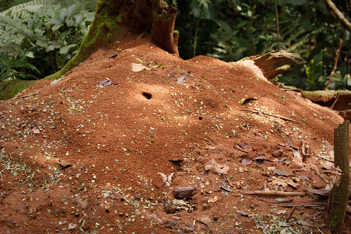
Leaf Cutter Ant Nest

This leaf cutter ant nest is over 10 years old. What you see here is about 8 feet in diameter, and very fragile. If you were to step on it it could collapse.

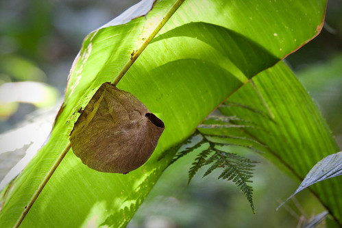
Insect Nest

Built on the bottom of a giant leaf, this nest is home to either bees or wasps – I didn’t stick around to find out.

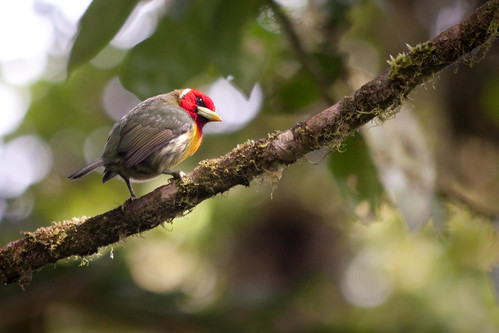
Beauty

One of the many beautiful birds we saw in the cloud forest.

Twenty minutes of the drive to and from the cloud forest was along a twisty two way, one lane, road. Normally not that unique or interesting, unless you’re doing it in a tour bus with small trucks coming the other way. Marcos proved his skills.

A half an hour further down the road and we stopped for lunch, then on to Doubletree in Puntarenas for the next two nights.

Nov 222011
 

After a tasty and filling homemade breakfast on the deck we ventured out to take on a couple of local hikes. We decided to do both ‘beach’ and ‘bush’ in one day, beach first. We drove up the coast a few kilometers to the car park for the Wharekawa Wildlife Refuge. There is a short hike through the woods before arriving at the 5km white sand beach. Our pace worked out to be more of a meander than a hike – the shoreline was littered with shells and we took our time beachcombing, collecting a few prized shells and experimenting with ways to photograph them.

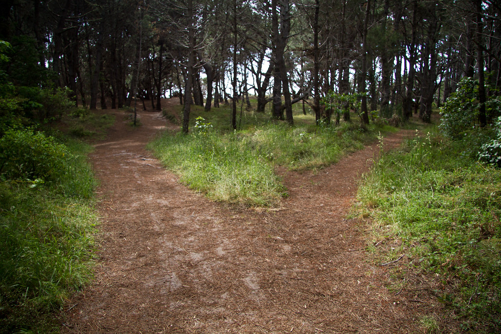
We Came to a Fork and Took It

The trail to the beach at Wharekawa. We came to a fork and took it.

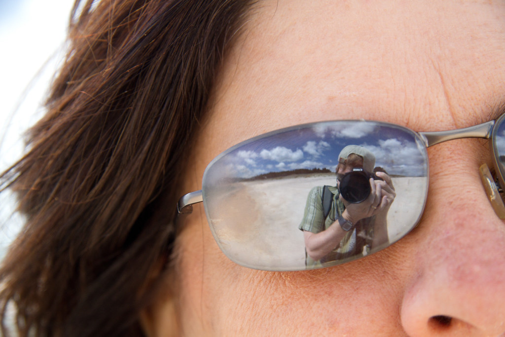
Sarah and Me on Wharekawa Beach, NZ

Sarah and Me on Wharekawa Beach, NZ

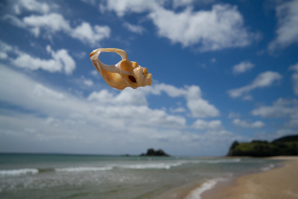
Flying Shells, I

"Flying Shells, I" - A portion of a shell found on the beach, dropped from out of the camera's view to catch it floating above the horizon.

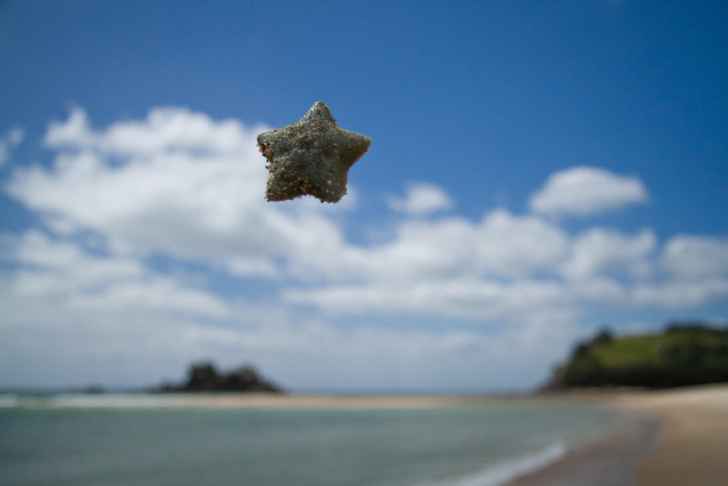
Flying Shells, IV

"Flying Shells, IV" - A small starfish in flight.

All of my (good) pictures from the beach are here: flickr.com/photos/rosendahl/tags/wharekawa/, including four of the flying shells.

We grabbed lunch in the town of Whangamata, and headed for part two of our day – the hike to Wentworth Falls. The hike was about a three hour round trip, including stops for photo-ops and falls gawking. The trail had been recently refurbished – we were told it was good for strollers, we pictured people pushing baby strollers up the hill and laughed, sure that they meant for old people strolling up the hill. Within the first mile we ran into a young couple charging down the path with an actual baby stroller. That’s a pretty nice trail. The falls were a nice reward at the far end of the hike, they are across a small valley from the lookout point, dropping halfway down the cliff into a pool, then dropping the remainder of the way.

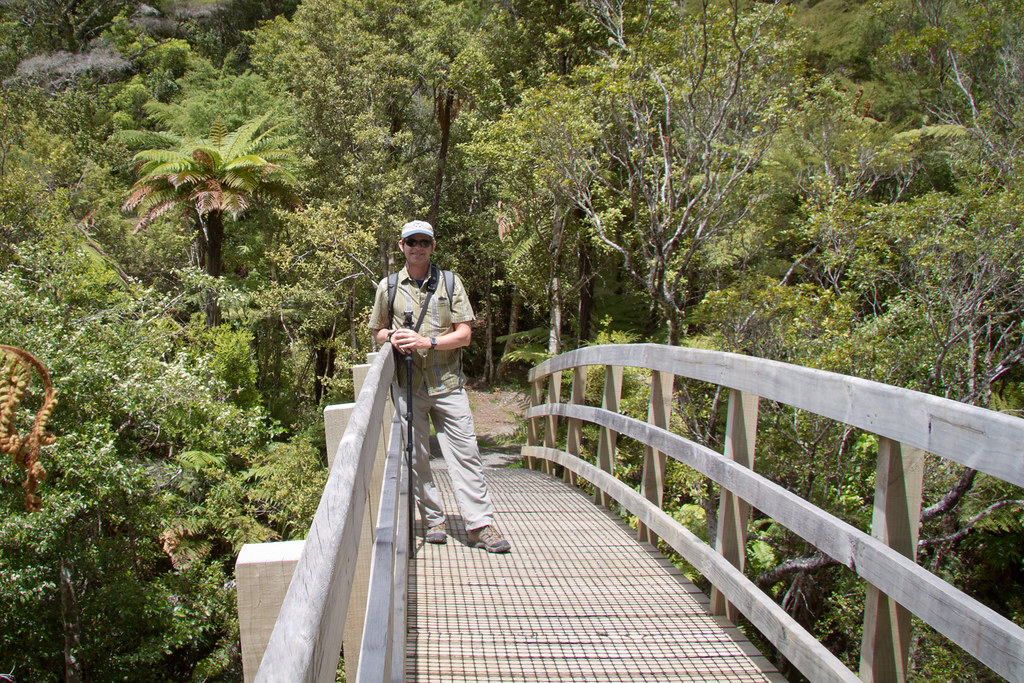
On the Trail to Wentworth Falls, NZ

On the trail to Wentworth Falls

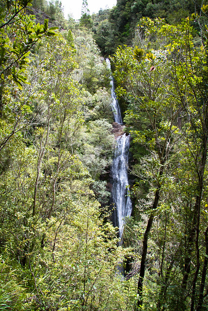
Wentworth Falls, NZ

Wentworth Falls. A bit tricky to photograph since it is best viewed from a vantage point through the trees. The most interesting thing about these falls is the pool on the side of the cliff about halfway down.

Once we got back to the lodge I laid down on the floor to stretch and woke up an hour later. Well rested and hungry, we went to an Indian restaurant in town that David and Sallie recommended. It was a great day.